
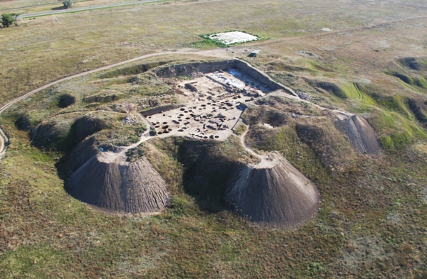
Aerial survey with unmanned systems opens up new vistas for archeology. Visual and thermal vision cameras perform accurate mapping of landscape and searching of objects under the soil and plants. Important archeological discoveries in New-Mexico and in the Eriya valley have already been performed thanks to SUAS. This fact proofs the efficiency of the method. Search is especially efficient in areas where the difference between night and day temperatures is rather significant that allows determining objects on the picture.
According to archeologists using SUAS with camera makes possible to explore the area in several hours while excavation requires ages of hard work. Thermal and day vision cameras capture georeferenced video and photos. Hovering state of drone and gimbal rotation permits to descry any point of interest duting the flight.
Archeological aerial survey has lots of advantages comparing with other methods – it is much cheaper then survey from the satellite, plane or helicopter and has better accuracy and mobility then balloon survey.
Besides the search of hidden archeological objects another one important application of drones is monitoring of cultural heritage places. This task is actual both for extended objects – memorial towns, fortress walls, parks, gardens – and for monitoring of historical buildings, roofs, monuments, arch and many others.