
Description
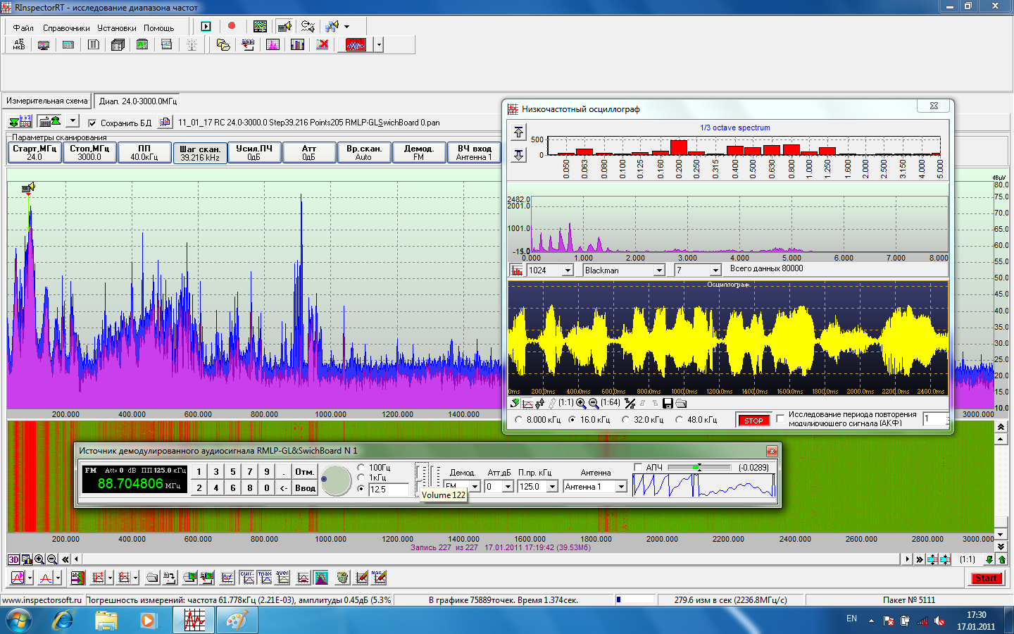
The Complex is built around software platform that provides for an advanced Spectrum Monitoring, TSCM, SIGINT and Telecom Tests interfacing with multiple manufacturer’s receivers and spectrum analyzers.
Key features are:
- Efficient, effective, 24×7 electromagnetic spectrum monitoring and high speed signal of interest capture;
- Performs a wide range of radio spectrum monitoring and control tasks from electromagnetic field measurements to electronic countermeasures;
- Uses multiple algorithms to search for illicit, non-cooperative and clandestine signals;
- Easy, automated operation and expert manipulation of results from the measurement of the electromagnetic spectrum;
- Saving of results (saving spectrum data calculations with the ability to reproduce panoramic displays from saved data) using amplitude, frequency, time, and geo-location references;
- Scanning of discrete frequencies or multiple frequencies (from a user-supplied frequency scanning data-base) or F1 to F2 with user-selectable scanning bandwidths;
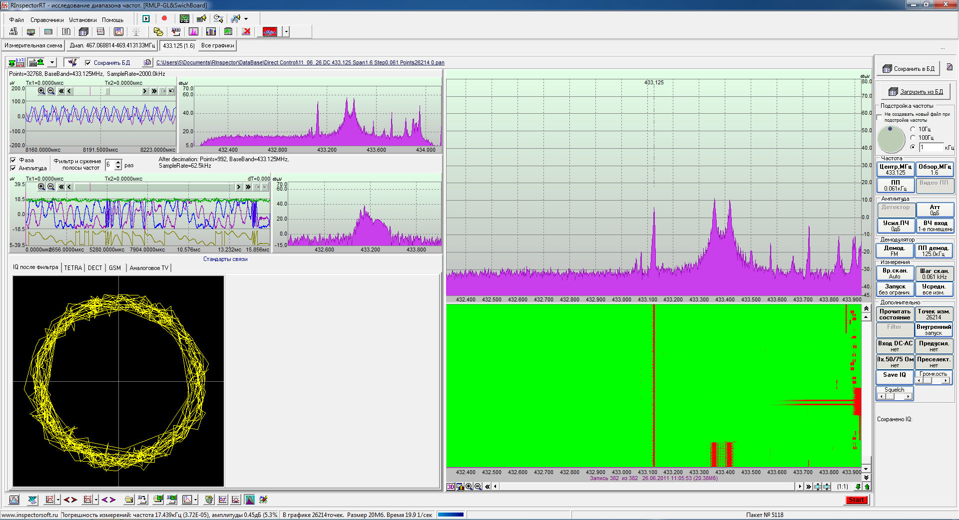
- Digital demodulation and signal parameter analysis of the following communication standards: DECT, Bluetooth, Wi-Fi, GSM, Tetra, APCO P25, DMR, DRM, analogue TV signals, AM and FM (wide and narrow) and IEEE 802.15.4 family standards;
- Saving IQ data and performing vector analysis in real-time with wide-band (up to 8 MHz depending on spectrum analyzer) for unlimited time intervals;
Working with major brands of spectrum analyzers, communications and surveillance receivers from: Rohde & Schwarz, Agilent, Tektronix, Advantest, Anritsu, Aeroflex/IFR, AOR, ICOM and more. RadioInspector software is constantly expanding its support for new equipment; - All measurements are saved to a local file and spectral display information can be restored from saved data using post-processing techniques. Historical events can be re-played from file, ensuring even ‘fleeting’ data can be captured and analyzed after the event;
- Local and remote control of spectrum analyzers and receivers. Measuring instruments can be connected via a LAN, WAN, or the Internet to a computer;
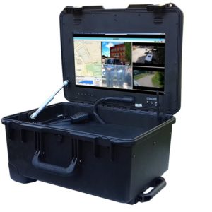
- High quality and performance graphical user interface. All results are presented in the form of spectrum displays, panoramic displays, and signal displays. The GUI can be resized and is scalable in X and Y. Marker and cursor measurements can be made on any spectrum display; and the display can be exported into Microsoft Word®. The spectral display can be changed quickly and configured in different ways;
- Digital map Display support. Measurement results are saved along with geographic coordinates from the measurement point. Results can be displayed on a digital map for geo-spatial analysis of results: to calculate coverage areas, geo-locate signals of interest and identify poor reception areas;
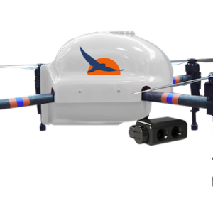
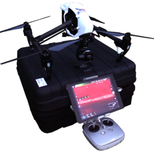
- Database of known commercial drones to provides for immediate identification (on the way);
- Pelengation system using several complexes (ongoing).